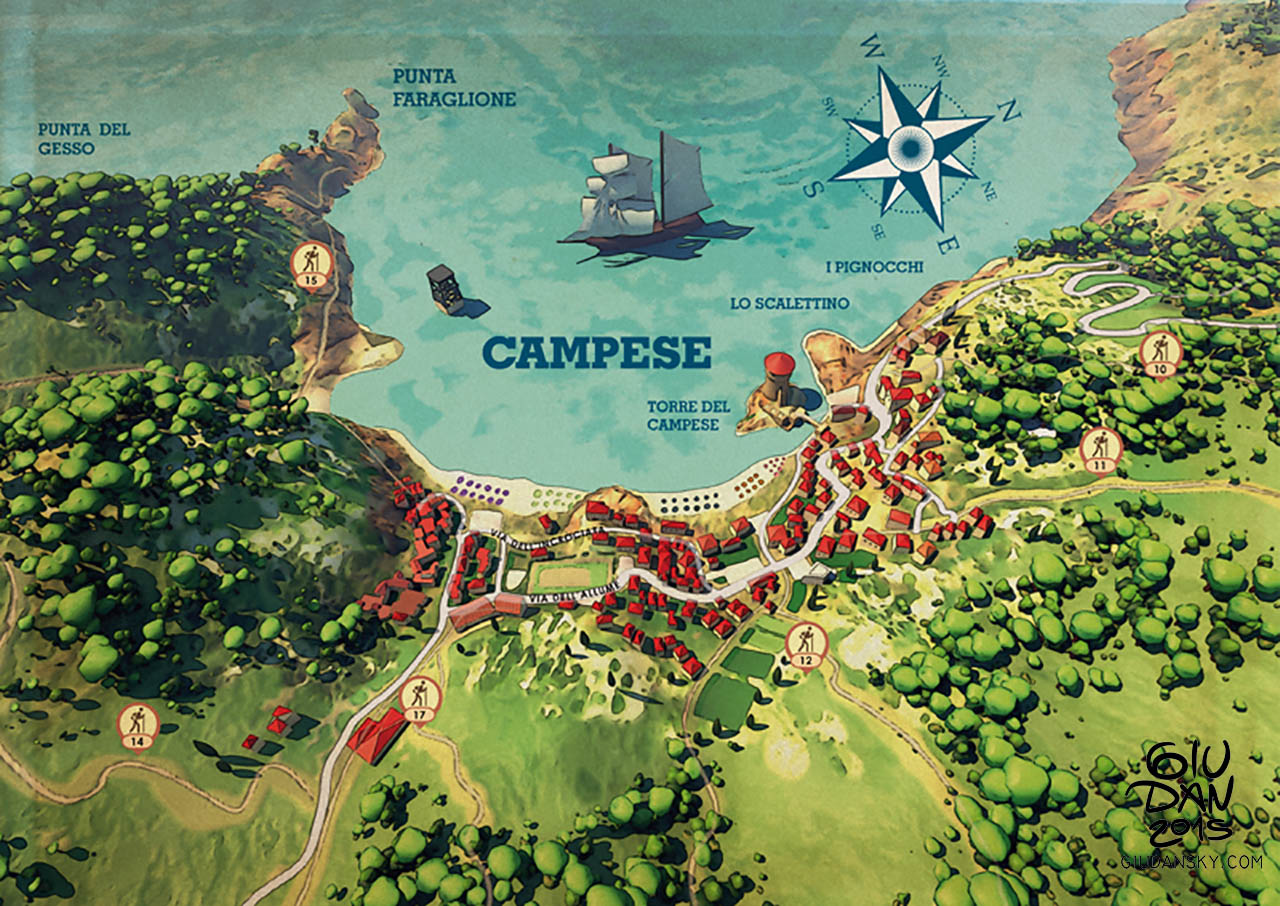
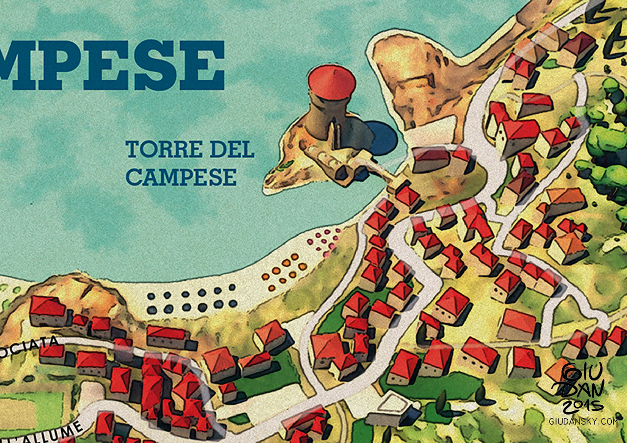
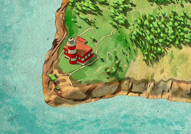
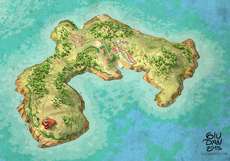
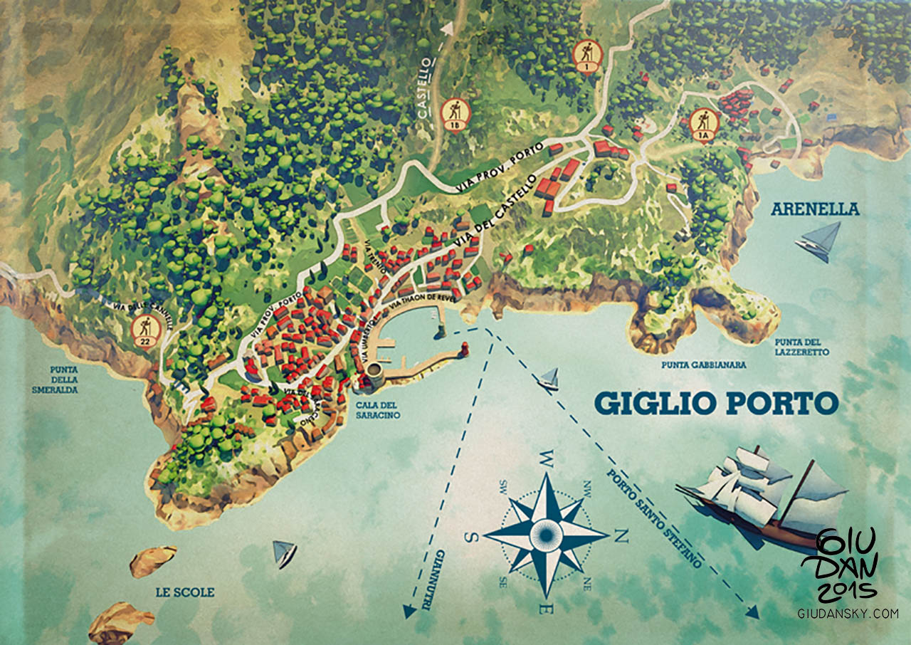
Giglio Island, in the Tuscany arcipelague, similar to the PuntaAla map I drew some time ago; The target was an illustrated map with a 3d perspective feeling: tracing actual satellite maps from the top it's simply useless in this case and not attractive to see; it's interesting to emphatize and stylize the reality instead, redrawing landmarks and distorting distances.
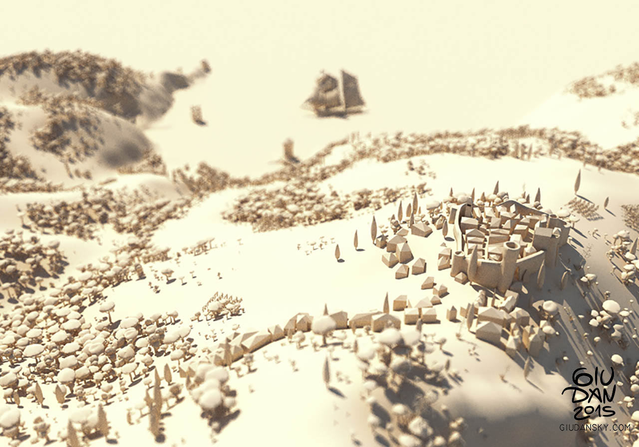
These shots are part of a bigger map I'm working on, available next month. Drew and painted on a 3d model, the result is a mix of many techniques: 2d drawings, cartographic gis, cad modeling, texture painting, and involved quite some hours/days. But that's a damn good time for cartography maniacs and exotic maps collectors. The source project let me work from different perspectives so it's possible to work and paint on different overlays and compositing everything in the final image.
Some of these illustrations were made for Innocenti Editore.
More to come...
Follow me for updates or contact me on the socials